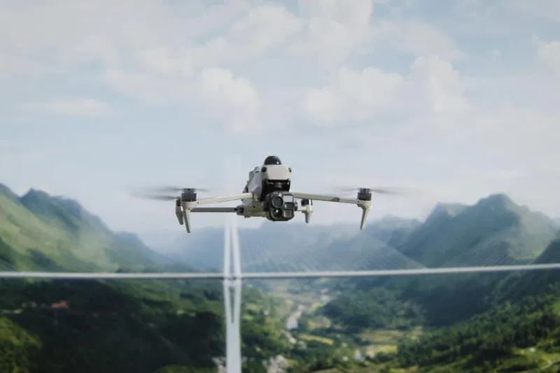
DJI introduced the Matrice 5T, an industrial-grade UAV designed for search and rescue, emergency response and complex inspections. High-definition thermal imaging and advanced night vision help operators explore hard-to-reach areas even in limited visibility conditions. The drone can stay in the air for up to 59 minutes; It is equipped with an improved collision avoidance system and an increased communication range, allowing it to be used in difficult terrain.
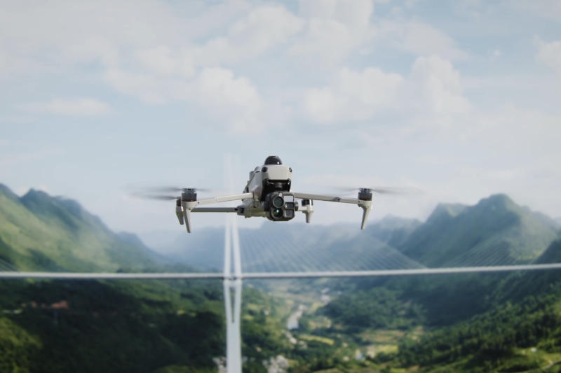
Image source: dji.com
The native resolution of the DJI Matrice 5T thermal imager is 1280 × 1024 pixels, and the Ultra High Resolution mode increases the output to 2560 × 2048 pixels, allowing operators to study thermal signatures in detail. The wide-angle camera has a 1/0.98-inch sensor and an f/1.8 aperture lens; Artificial intelligence algorithms are responsible for improving the quality of shooting in low light conditions. The system, the manufacturer claims, is capable of creating full-color images with illumination of only 0.01 lux – in almost complete darkness.
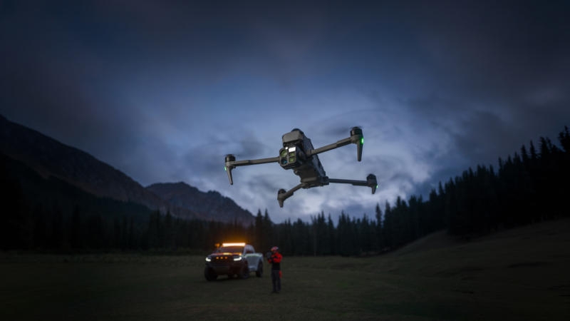
The drone is equipped with a 50-megapixel camera with a medium focal length and 3x optical zoom – it is designed for inspecting infrastructure and remote objects. The second camera offers 11x optical and up to 176x hybrid zoom, as well as a monochrome night vision system – this allows, for example, to view a car license plate from a distance of up to 400 m.
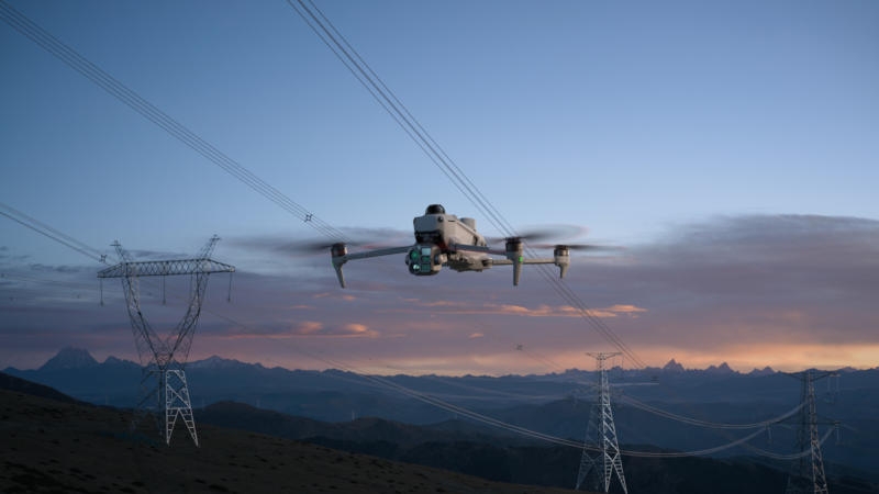
Particular attention is paid to the obstacle detection system – it includes lidar, millimeter-wave radar and omnidirectional visual sensors. Lidar can detect thin objects, including electrical cables, at a distance of up to 32 m at night. Radar helps with detection of surrounding objects when rain, fog or dust in the air interfere with the optical sensors. The combination of visual and radar data provides navigation in areas where satellite positioning signals become weak or unreliable.
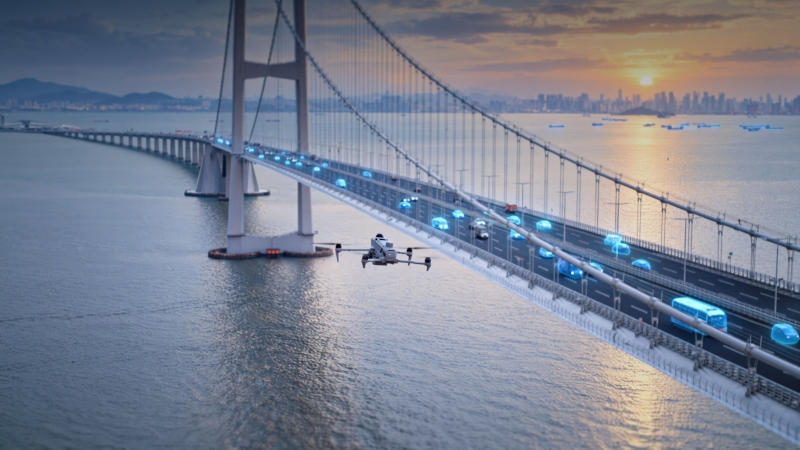
The new DJI O4 Enterprise communication technology enables data transmission over a distance of up to 40 km. Automatic frequency switching helps maintain connectivity in the presence of city noise; Matrice 5T can work with cellular communications and repeaters. For complex operations, this allows operators to obtain an aerial view without relying solely on direct communications. The UAV can coordinate the work of several other drones in repeater mode if the terrain blocks standard data transmission channels.

Built-in AI can recognize more than 20 categories of objects – the DJI FlightHub 2 platform allows you to search for them using text descriptions and create automated patrol routes with specified action scenarios. When carrying out geodetic work, DJI Terra software allows you to take measurements with an accuracy of up to a centimeter – if certain conditions are met, the system does without ground control points. You can create heat maps, measure temperatures, and identify abnormal heat zones.
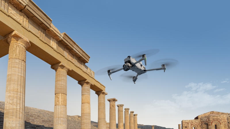
The control panel is capable of processing 200 photos in 8 minutes, generating a point cloud or 2.5D model for quick on-site assessment. You can take off from moving ships and land on specially marked areas of the deck. DJI Matrice 5T has IP55 protection and can be operated in a temperature range from -20 °C to +50 °C. Corporate customers are offered service packages, including repairs, annual battery replacement and an extended warranty.
If you notice an error, select it with the mouse and press CTRL+ENTER.