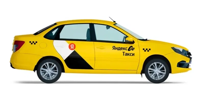
Yandex specialists have developed a compact device called “Compass”. With its help, you can more accurately determine the location of the car and the direction of its movement in the event of unstable operation of satellite geolocation services. Currently, the new product is already being tested in 10 thousand taxi cars, and taxi drivers and taxi companies can receive the device for free.
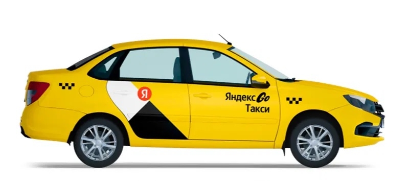
Image source: Yandex
The Compass device must be connected to the car diagnostic connector (CAN bus), after which it will be able to receive data on wheel speed. The design has a built-in gyroscope and accelerometer, which help determine the direction of movement. Using the Bluetooth module, the data collected by the sensors is transferred to the Yandex Pro application, where the drivers themselves can see it. A special algorithm combines and analyzes the data, compares it with the latest received geolocation signals and data from Wi-Fi points from a smartphone, thereby more accurately determining the geolocation of the car online.
“If geolocation fails, the car can “jump” on the map – we receive thousands of requests to the support service asking for help in finding the driver. We started developing a solution primarily for taxis, because here every trip depends on exact coordinates – from receiving an order by the driver to calculating the route. Already at the testing stage, we see that Compass helps reduce order cancellations due to the fact that passengers and drivers cannot find each other,” said Alexander Malairev, head of the Yandex Compass project.
The message says that Compass was completely developed by Yandex engineers, including technical components and firmware, as well as the algorithms used. In the future, the company plans to expand the scope of application of the device, as well as develop other products in the inertial navigation segment, including for private car owners.
Inertial navigation is used in conditions where geolocation data may be inaccurate, for example, in tunnels, underground parking lots, etc. In such cases, the position of the car is calculated from the last successful geolocation point based on the speed and direction of movement. To reduce the error in calculations, geolocation data and Wi-Fi access points are used. Standard navigation apps also use the accelerometer, gyroscope and magnetometer inside the smartphone, but their readings may change as the angle of the smartphone changes. “Compass” is free from this drawback, since it is mounted in the car and receives data directly from it.
If you notice an error, select it with the mouse and press CTRL+ENTER.